


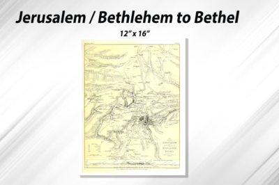
Description
Map – Holy Land Twelve Tribes
Printed 16″ x 12″ in Full Color on premium bright white 100 lb. text
Holy Land Map & Diagrams provides a fascinating in-depth look at the faiths, peoples, and politics that have shaped this historic region. This detailed map overlaid with facts about significant religious sites. Information on Judaism, Promise Land, First Tabernacle to Herod Temple as well as historical periods make this an educational tool as an attractive work of cartographic art. Cities, bodies of water, geographical features, ruins, Israeli settlements, and more are noted, as are transportation infrastructure such as roads, canal, rivers.


Reviews
There are no reviews yet.